


Aerial survey
Our experience
The team of “Eco-Spectri” LTD has
a long working experience in the field of aerial survey. The
Company has been providing measurement services both, on the
territory of Georgia and beyond its borders both, for state bodies
and international financial institutions (Asian Development Bank,
European Investment Bank, World Bank, European Bank for
Reconstruction and Development, etc.).
When is the aerial survey
needed?
- For gaining the aerial photos of land plots;
- For gaining the aerial photos of the project areas;
- For gaining the aerial photos of the construction sites;
- For gaining the aerial photos of houses and blocks of flats;
- For gaining the aerial photos of commercial objects;
- For gaining the aerial photos of industrial objects;
- For gaining the aerial photos of historical monuments;
- For gaining orthophotos;
- When developing a resettlement action plan;
- When developing an EIA Report;
- During the observations of a forest massif;
- During the observations of ongoing geological processes;
- To take the pictures of hard-to-access sites;
- On the demand of physical and/or legal entities.
Services we
offer:
- Land plot survey;
- Survey of the project areas;
- Construction sites survey;
- Survey of houses and blocks of flats;
- Survey of commercial objects;
- Survey of industrial objects;
- Survey of historical monuments.;
- Making orthophotos;
- Survey of the forest massifs;
- Survey of hard-to-access sites;
- 4K video and photo survey.
Methods and techniques of
aerial survey
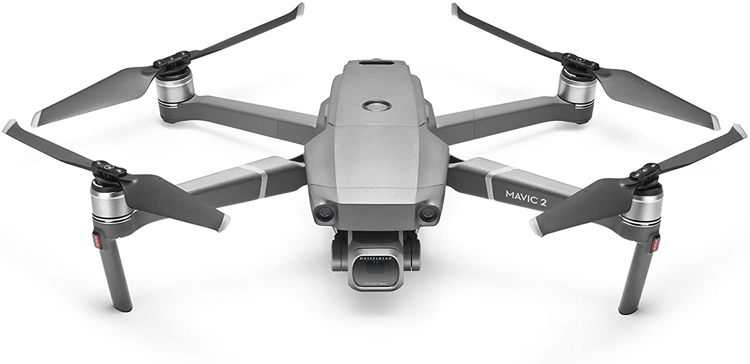
The following device is used for
aerial surveys DJI Mavic 2 Pro type unmanned aerial vehicle. It has
a Hasselblad L1D-20c type camera allowing recording a 4K resolution
video. The system of the drone is capable of storing over 1
milliard colors and maintains more deep details in highlights and
shades. Recording features of aerial surveys are selected in
advance. Following the operational specifics of the instrument, the
configurations are set individually. Prior to recording, the
area/object to record, acceptable shots, flying modes and video
compositions are determined. The obtained photos/videos are
processed with relevant software to improve the survey quality.
Duration and prices of
aerial survey
The time and price of the
services are calculated individually, depending on the numbers of
measurement points, task complexity and scale, as well as specific
indicators and environmental conditions.
Join Us